
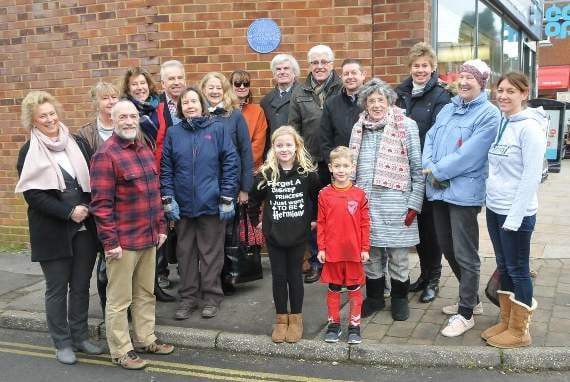
AN important medieval road journeys on after The Grayshott Society, with support from Grayshott Heritage, unveiled its tenth blue plaque on Saturday.
Society chairman Lady Haddon-Cave launched the latest plaque, erected on the corner of the village Co-Op, and John Childs from Grayshott Heritage described the history of ‘Pitfold Way’.
It was thanks to Mr Childs’ research that the ancient route has been fully recorded. The road was part of a network that linked farms in Whitmore Bottom, Woodcock Bottom, Pitfold and Highcombe Bottom via a crossroads in the area of Tower Road.
The road was first recorded as ‘Pytfold Way’ in a survey of 1552, but is certainly much older.



The route, reconstructed from the survey and later maps, started at the head of Whitmore Bottom.
It ran from the parish boundary up a sunken track now called Woodcock Bottom, thence along the course of Avenue Road and across the high ground towards the intersection of Stoney Bottom and Crossways Road.
From there it followed the course of Crossways Road, across the old A3 and onwards to Pitfold and eventually Shottermill.
Mr Childs said: “Today its northern part is preserved in the course of the roads we know as Woodcock Bottom and Avenue Road, as far as the intersection with the B3002.
“Its central section, from the driveway between The Pines and The Ghurkha Durbar, through modern gardens to the head of Stoney Bottom, was closed as part of the Headley Inclosure in 1855.
“Its southern part is preserved in the course of Crossways Road from Stoney Bottom to the old A3, then - prior to the tunnel - directly across and along the lane to High Pitfold.”
Grayshott Society vice chairman Phil Bates, said: “Much credit and thanks go to John Childs for the research and time he has put in and yet again and also to Grayshott Pottery for donating and making another blue plaque and for continuing to support the village in this way.”
Comments
This article has no comments yet. Be the first to leave a comment.